Posts

Showing posts from October, 2017

Week 7 and 8: Data Hide and Seek
Image
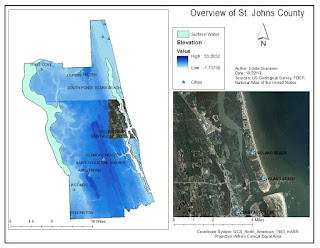
This week I was mostly flying solo! It was a little intimidating to search through the two databases to find the data I needed. I wasn't always sure what data I needed or what data I would get when I downloaded it. The public land was the most difficult, everything that I found was way more detailed than what I needed. Eventually after changing my search a few times, I found a general public land file. I thought the projections were going to be difficult, but they were not too bad. It helps to have something with your target projection in ArcMap as you reproject because you can use the "Layer" folder in the tool to pick a projections that is already being used in the map. That way you do not have to root around looking for the projection. This project turned out to by way more interesting and way less frustrating that I expected. Here is what I was able to whip up this past week.

Week 6 - Reprojecting Fun

This week was busy. I was collecting data like Harry Potter collecting Horcruxes. Finding the data is only half the problem, it was mainly just searching two websites, you then have to make sure all the coordinate systems agree with each other. This can be time consuming. When reprojecting data, it works best in a new ArcMap page, just in case something goes wrong. Which reminds me, sometimes things go wrong, and the best way to fix it is to close the map completely and then try again. Some signs of something going wrong while reprojecting include: Looking at the scale and making sure it makes sense (like 1:40,000) 1:2.5 is a bad sign Looking at the coordinate of the cursor in the bottom right hand corner and making sure it updates as you move the mouse around. Also I really liked converting the minutes and seconds to the X/Y coordinates. Next week is the midterm lab, and it takes two weeks! Wish me luck!

Week 5: Projections

Image
This week was a busy one! We started looking into map projections and what the slight differences are between them. The short story is: there are slight differences between each projections, some things will be smaller and some will be bigger depending on what projection you are using. What's the correct projection? Who knows! It would change based on what the range of your map will be, what the project calls for (if you're making a map for someone) or even personal preference. One of my questions was also answered: what to do if someone does not have all of the data it needs. I had to add something that did not have a coordinate system defined. The good news is that it can be assigned in ArcGIS. The bad news is that it is basically a guessing game. Overall, this was a very enlightening week and I look forward to the rest of the projections lesson. Here's a neat map that compares three different projections.